Click here if you can't read this email properly.


Vol. 131 Aug 2019
|
|
Ambit – Empowering Hong Kong’s smart living development with advanced geospatial intelligence
Anyone who has used Google Maps or similar applications knows that having accurate, on-the-ground data is vital for daily planning and smarter living. But that is just the basic level of what such spatial and geographical data can do.
Ambit, a “City Big Data” provider and Cyberport incubatee, has been capturing, storing, analysing, and managing high-resolution spatial and geographical data about Hong Kong, building 3D models of the city, and enabling smart city applications.
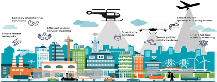
Using drones, airborne sensors, and vehicle/backpack mobile mapping systems (MMS), Ambit’s 3D geographic information system (GIS) offers data to empower such capabilities as tree management, autonomous driving, and facility management.
Ambit’s patented technology is designed to capture high-resolution spatial data for low altitude city mapping, which is indispensable for agricultural, environmental, survey mapping, urban planning, and construction applications.
Ambit has recently secured a HK$13 million contract from the Civil Engineering and Development Department to conduct a territory-wide data capturing project, the largest project of its kind issued by the Hong Kong government. The project will see Ambit using LiDAR (Light Detection and Ranging) to acquire landscape information of the entire Hong Kong.
The project is to use manned aircraft for airborne LiDAR data capturing of the entire Hong Kong territories. LiDAR is a surveying method that measures distance to a target by illuminating the target with laser light (near infrared light beam) and measuring the reflected light with a sensor in airborne platform. Differences in laser return times and wavelengths can then be used to make digital 3-D representations of the target.
Three-dimensional city data provides high resolution and accurate information of most of the land features in the city. In Hong Kong such 3D city information have various potential applications, for example for use in topological and natural landslide mapping as well as analysis. It is a “must-have” data for airspace modelling in airport development according to ICAO practice, hence it is the critical element for generation of photorealistic 3D city landscape model, compilation of high resolution digital map for autonomous driving and even for integrated AI application for tree feature and geometry extractions etc… Such fruitful dataset is beneficial to all aspects of the city administration and development.
Having captured the aerial data of more than 90% of Hong Kong’s urban area during the past three years, Ambit is planning to acquire land-based, street-level spatial data in the coming three years to build seamless, high-resolution 3D models of the city to support more sophisticated smart living applications.
|
|


